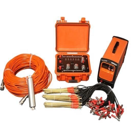
Electrical Resistivity Tomography (ERT)
Subsurface imaging for water, geotech and minerals.
View product →
Electrical resistivity, ground-penetrating radar, GNSS, total stations and seismic kit for hydrogeology, mining, utilities and construction investigation.
Subsurface imaging for water, geotech and minerals.
View product →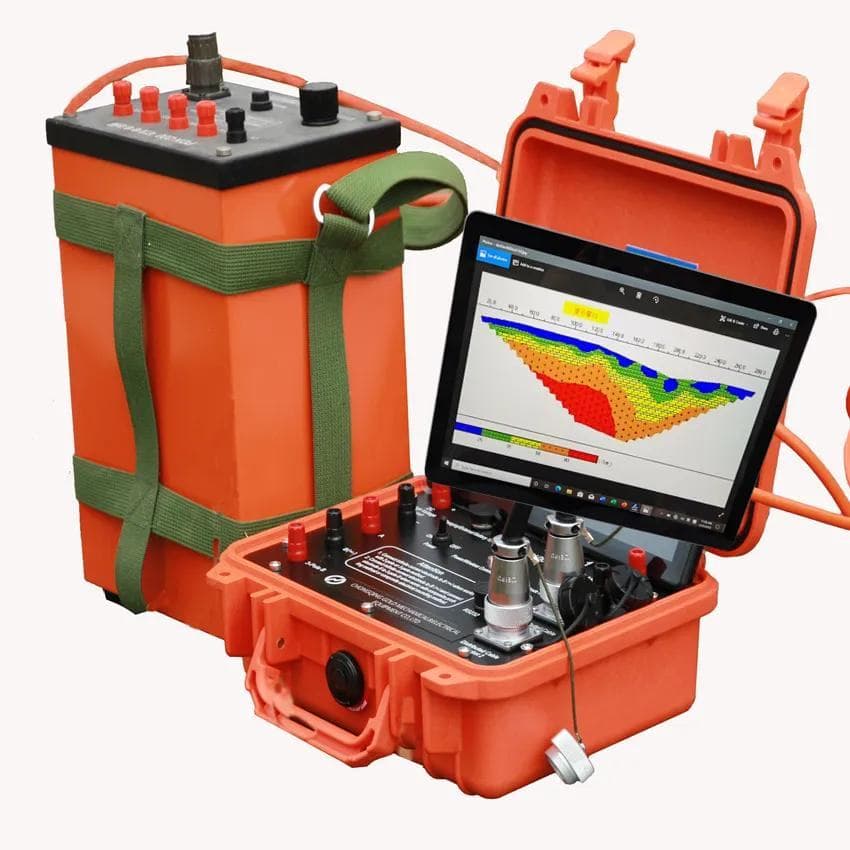
Resistivity imaging packages for consultants and universities.
View product →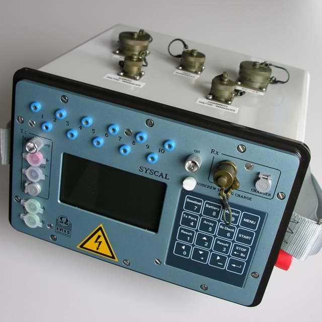
IRIS Syscal Pro resistivity and induced polarisation.
View product →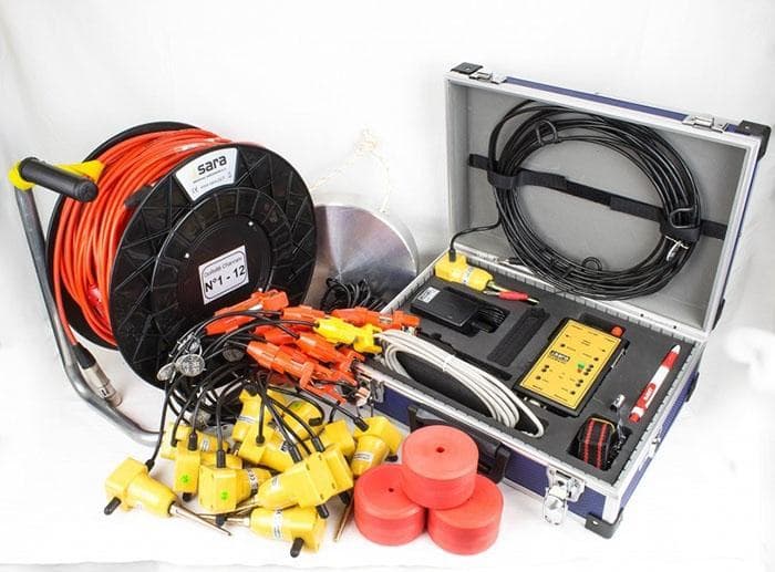
General geophysical kit for field programmes.
View product →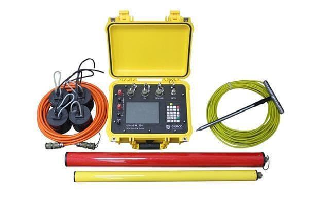
EM mapping for conductors, utilities and groundwater.
View product →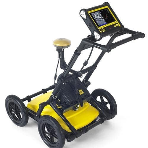
Shallow imaging for utilities, archaeology and pavement.
View product →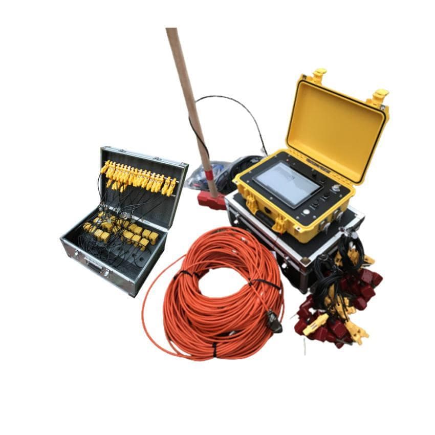
Refraction and reflection kit for civil and resource work.
View product →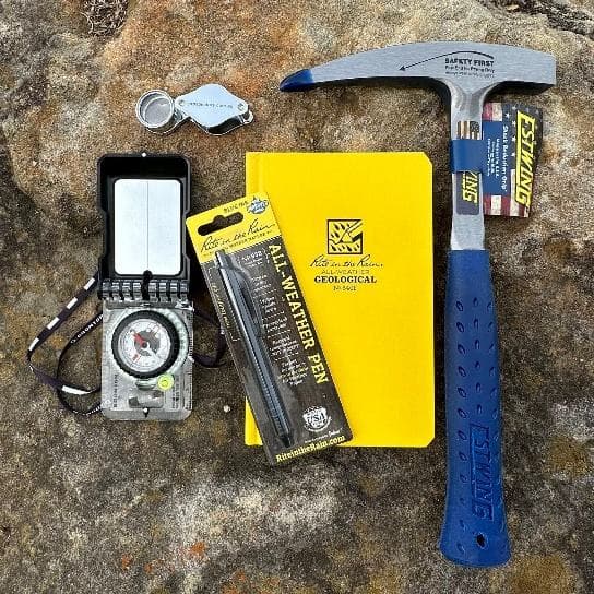
Field geology tools for mapping programmes.
View product →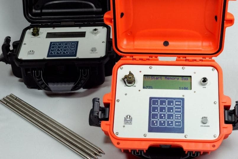
Rugged logging for environmental and geophysical sensors.
View product →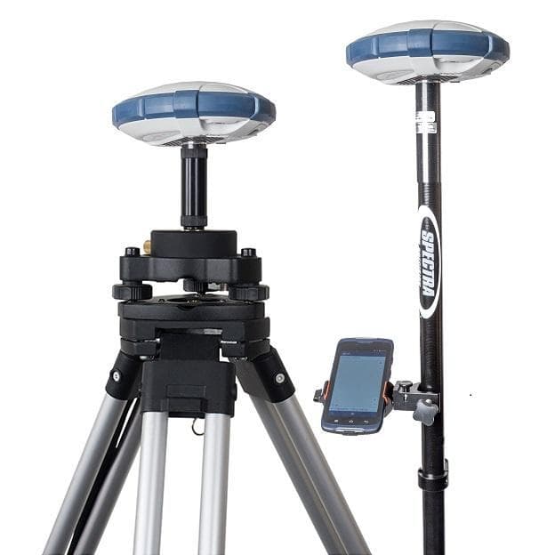
Centimetre and mapping-grade GNSS for survey crews.
View product →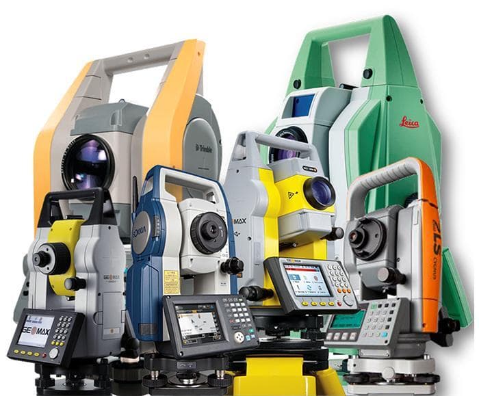
Angle and distance for cadastral and engineering survey.
View product →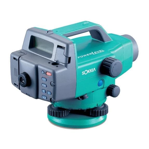
Precise levelling without booking errors.
View product →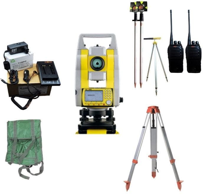
Tripods, prisms, staves and the kit a crew actually consumes.
View product →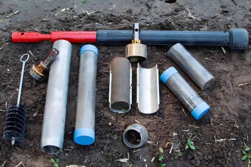
Sampling tools for soil, rock and sediment.
View product →Tell us the specification, quantities and site. We reply with a compatible package — not a parts list.